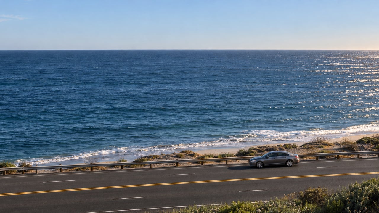
What does 36 miles per hour mean on Pacific Coast Highway between Sunset Boulevard and Carbon Beach Terrace? Under Malibu's new Speed Safety System, it can mean a $50 civil penalty. The cameras flag vehicles going at least 11 mph over the posted limit, and through the fire-repair stretch of eastern Malibu the posted limit is still a temporary 25 mph.
That gap between the camera threshold and the posted number explains most of what happened during testing. It also explains why two reviews now underway may affect more drivers than the cameras themselves. The City of Malibu is running a traffic study of existing limits in Eastern Malibu, aimed at the Carbon Canyon and Tuna Canyon camera sites, and expects it to wrap up in November. Separately, Caltrans is surveying the 25 mph work-zone limit.
Nine Days of Testing Showed Where the Pressure Sits
From September 16 through September 24, 2026, cameras at four PCH locations ran in a test mode. They issued no warnings or citations and did not pull driver information from the DMV. They still recorded approximately 100,000 speeding violations, and about 86 percent of those happened in Eastern Malibu. The Los Angeles Times identified the test sites as Tuna Canyon, Latigo Canyon, Decker Canyon and the Zuma Beach area.
The share from the eastern end follows from how the limits are set. Caltrans' project page, last updated June 2026, splits the post-fire corridor into three speed bands:
- McClure Tunnel to Temescal Canyon Road: cones removed, back to 45 mph
- Temescal Canyon Road to Sunset Boulevard: reduced cones and signage, 35 mph
- Sunset Boulevard to Carbon Beach Terrace: active work zone with single-lane closures, 25 mph
Before the fire, the limit through eastern Malibu was 45 mph. Damian Kevitt, founder of Streets Are for Everyone, described traffic there to the Los Angeles Times this way: "Most people are doing 35 to 45 mph, which is still slower than other parts of PCH, which is great, but that means most people would get a speeding ticket."
City spokesperson Matt Myerhoff told the same paper why the limit has stayed at 25 mph, and how closely it is followed:
"The city, law enforcement and the community have known that it is rare for any vehicles to adhere to the lowered, temporary 25 mph speed limit in the Palisades fire burn area construction zone."
He said the lower limit remains in place while Caltrans "is conducting a speed survey in the burn scar region to determine the appropriate speed limit for this segment of PCH." He also called the 100,000 count "still surprising" whatever the final enforceable limit turns out to be.
What the Same Drive Costs Under Each Limit
The City's Speed Safety System Use Policy sets four civil penalty tiers. Three are measured against the posted limit. The fourth applies to any vehicle at 100 mph or more. Here is how those tiers line up with real speedometer readings under the temporary limit and under the old one:
| Penalty tier | Over the limit | With a 25 mph posted limit | With a 45 mph posted limit |
|---|---|---|---|
| $50 | 11 to 15 mph over | 36 to 40 mph | 56 to 60 mph |
| $100 | 16 to 25 mph over | 41 to 50 mph | 61 to 70 mph |
| $200 | 26 mph or more over | 51 mph and up | 71 mph and up |
| $500 | Any speed of 100 mph or more | 100 mph and up | 100 mph and up |
Put a car at 45 mph, the old posted speed, and run it through each column. Under a 25 mph limit it falls in the $100 tier. Under a 45 mph limit the cameras never trigger. The 35 to 45 mph range Kevitt described lands almost entirely in fine territory under the first limit and entirely below the threshold under the second.
Some features apply whatever the limit ends up being. The City says these violations add no points to a driver's license and carry no insurance penalties. Camera images capture the vehicle's rear license plate, and the system generates a citation that then goes through review. The policy also includes a community-service diversion option and monthly installments of no more than $25 for eligible low-income recipients. This is general information, not legal advice. Anyone who receives a notice should read the City's policy and check their own situation with a qualified professional.
Where the Cameras Sit, and Which Ones Depend on the Study
State law lets Malibu run up to five camera systems with 10 cameras in total. The Malibu Times reported the five City-selected areas, listed here from west to east:
- Decker Canyon
- Between Guernsey Avenue and Morning View Drive
- Latigo Canyon
- Between Carbon Beach Terrace and Carbon Canyon
- Tuna Canyon
The two eastern sites are where the open questions sit. The City has said its Eastern Malibu speed-limit study "specifically" affects the cameras at Carbon Canyon and Tuna Canyon. The Carbon Canyon site begins at Carbon Beach Terrace, which is where the 25 mph work zone ends on Caltrans' map. Whatever limits come out of those reviews will set the speed at which these two sites start issuing tickets.
The Sequence From Here
The City's posted timeline runs in three stages:
- Public information and education: August 18 through October 31, 2026.
- Warning period: 60 days, starting when the system activates in November. Drivers over the threshold get warnings only.
- Enforcement: civil penalties begin after the 60-day warning period ends.
Count 60 days from any November start and the first paid citations fall somewhere between the last day of December and the end of January 2027. The warning period was originally planned for late September. The City moved it to November to finish installation adjustments. The City's PCH safety cameras page is where activation notices will be posted. During testing, a camera may flash when it detects a speeding violation, and the City says that flash does not lead to a warning or a citation.
Where the money goes ties back to the road itself. Revenue first covers the program's costs, including equipment and staffing. Anything left over may go toward more traffic calming on PCH, in coordination with Caltrans. On privacy, the City says the system records only when it detects a violation. Non-violation data is deleted immediately, violation records are destroyed within 60 days after a case is resolved, and the data is not shared with other government agencies. Program updates are planned as a recurring item on the Public Safety Commission agenda.
The Rest of the Road Is Changing on Its Own Schedule
The cameras are one piece of a larger effort. It started after four Pepperdine University students were killed on PCH in October 2023. The City declared a PCH safety emergency, and legislation by Senator Ben Allen authorizing the cameras was signed in September 2024. Steve Uhring, Malibu's mayor pro tem, told the Los Angeles Times that the cameras are "another tool in the toolbox." Several other projects affect how the drive feels this season:
- Signal synchronization. Twelve signals between Topanga Canyon Boulevard and John Tyler Drive are now coordinated, and Caltrans can adjust their timing in real time.
- Repair work with year-end targets. Caltrans' June 2026 page estimated fall 2026 completion for a secant-wall repair just south of Big Rock Drive and for the Solstice Creek bridge. Slope and pavement repairs at Ratner Beach and the Las Flores Creek cleanup north of Las Flores Canyon Road were estimated for the end of 2026.
- A longer build. The rebuild of the Las Flores Maintenance Station at 3503 Las Flores Canyon Road is estimated for spring 2028.
- Paving. The City's traffic advisories list PCH paving continuing through 2029/30. Caltrans posts a weekly lane-closure list on its PCH repairs page.
The longest-range change starts on the same eastern stretch. Caltrans' PCH Segment A safety project, now in its project-initiation phase, covers Las Flores Canyon Road to Carbon Canyon Road. It is studying intersection and signal changes, pedestrian crossings, bicycle facilities and multimodal access, and its second virtual workshop was scheduled for November 18, 2026. The stretch where the cameras logged most of their testing violations is also the stretch whose limit, layout and crossings are under review.
PCH is part of daily life in Malibu, and it also shapes how a buyer sees a home on the coast. If you're weighing what this season's changes mean for a Malibu property, Laura Brau Estates offers a discreet, locally grounded view. Request Your Private Home Valuation.